Full article about Meia Via: Cobbles, Fossils & Coffee on the Middle Road
A Tagus-plain village where pilgrims, pear orchards and 175-million-year-old footprints intersect
Hide article Read full article
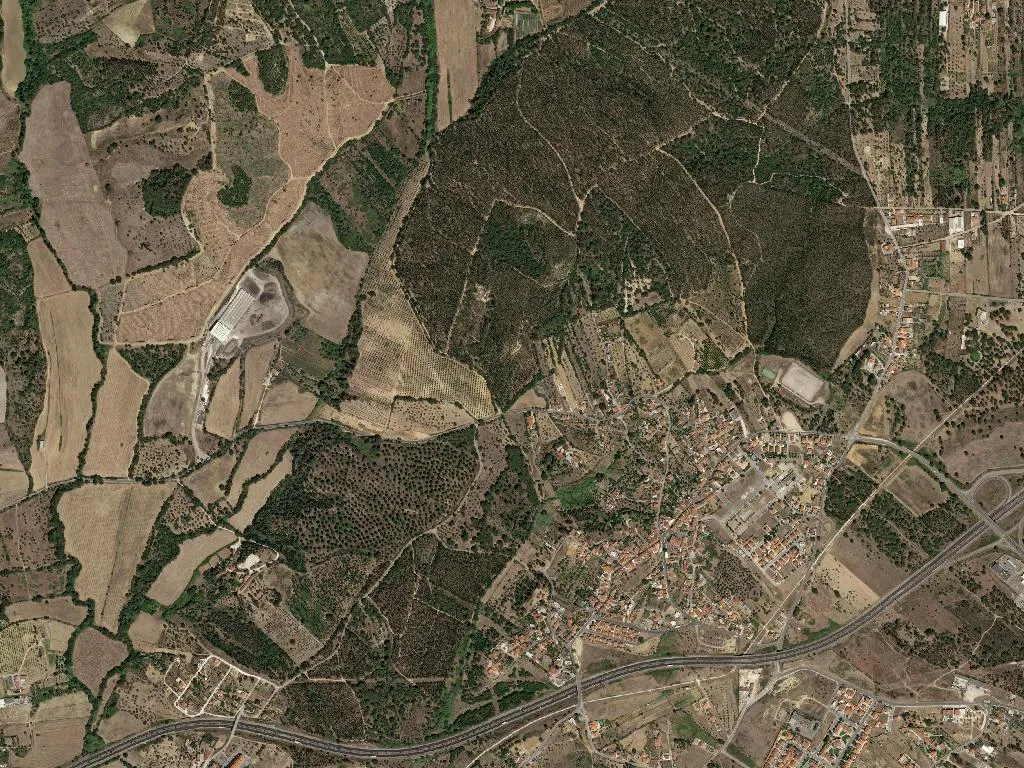
When tarmac turns to stone
The sound of your own footfall changes the moment the asphalt gives way to uneven cobbles. Meia Via unfurls across a low ripple of white and ochre houses, the Tagus floodplain opening ahead without the theatre of mountains but with the candour of land that has always fed people. At only 75 m above sea level, light strikes the whitewash head-on – no coastal haze, no ridge-line shadow – picking out every tile, every gap in the knee-high walls that guard back-gardens where Rocha pears swell in ruler-straight rows.
Footprints older than memory
Eight kilometres away, in Vale de Meios, the ground remembers when this was coastline. Carlos Silva was widening a track in 1994 when he uncovered a line of twenty sauropod prints baked into 175-million-year-old limestone. The quarrymen who had been burning the same stone for lime since the 1800s had already noticed cockles and sea urchins fossilised among the furrows; farmers still turn up nodules shaped like prehistoric starfish when they plough. You don’t need a PhD – just stoop to the pale scar of rock that pokes through the paths and you can read the moment this seabed decided to become wheat-field.
Half-way, crossroads, watering stop
The name is literal: Meia Via sits midway on the old royal road that once ran from Torres Novas to the Sant’Ana bridge over the Tagus. The Portuguese stretch of the Via Lusitana to Santiago has crossed here since at least 1413, when Dom João I ordered the route way-marked to Coimbra. There is no albergue, no gaudy yellow arrow, only the stone fountain on Rua da Igreira where pilgrims knelt to drink and, in the churchyard, a roughly carved cross of Saint James that country people still call “the stone”. Walkers today find the same three essentials: water from the Carreira spring, shade under the Rossio’s 300-year-old olive, and Zé’s café, opening at seven to serve the first bica of the day to whoever is passing – farmer or stray camino traveller.
Olive oil and pears, tasted by the river
The parish menu is whatever the soil offers that morning. Forty-two hectares of olive groves have supplied DOP Ribatejo oil since 1996; when the local co-operative folded in 2008, six growers simply loaded their dawn harvest into tractors at five a.m. and drove to the nearest working press in Torres Novas. The yield – a stingy 0.2 % acidity – ends up in coriander-spiked bread soups and Friday’s slow lamb stew that Dona Alice slides into her wood oven after the first customers disappear. Rocha pears arrived later: in 1987 agronomist Fonseca planted three trial hectares at Quinta do Arneiro, betting that the 30 °C September days and 15 °C nights would give the fruit its signature snap. The gamble paid off – 28 hectares now send 600 tonnes a year to market. In the Arneiro packing shed, Armando grades by eye: 70 mm for the national supermarkets, 60-65 mm for Saturday’s stall in Torres Novas.
Vine rows and village time
Vines occupy barely 18 hectares, yet red Trincadeira travels from neighbour to neighbour in five-litre mineral-water bottles. João do Rossio’s 1.5-hectare parcel, planted in 1995, produces a 14 % wine that costs three euros to refill an empty. With 407 inhabitants per square kilometre, the entire primary-school cohort – 241 children – fits into two classes; in 1970 there were four. At nine each morning the bakery on Rua da Escola sells out of pão de cabeça just as the 65-and-over club (455 members at the last census) finishes arguing over yesterday’s football. Sundays belong to the parish team, founded 1976, whose pitch is still a swept-earth rectangle; kick-off is three o’clock sharp so the players can be home for the week’s only siesta.
Evening light sets the west-facing walls on fire, the white reflecting a sky the colour of burnt marmalade. At six the church bell rings; Mr Alfredo’s dog barks on cue as he locks the vineyard gate – a ritual timed to the same bronze note for half a century. Wood-smoke drifts from Dona Alice’s chimney, carrying the scent of lamb that has been gentle-roasting since four. Meia Via offers no spectacle, only the steady cadence of people who know that what matters happens in the repeating gesture: the harvest that always comes back, the footstep that measures the road, one after another after another.