Full article about Atalaia: Ribatejo Ridge Where Silence Guards the Tejo
Above Vila Nova da Barquinha, a 13th-century church and olive terraces watch the river bend.
Hide article Read full article
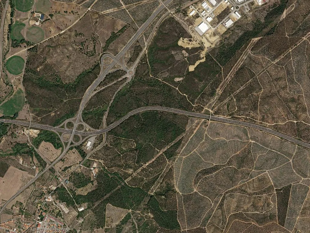
The afternoon light slants across the Tejo, and from the ridge of Atalaia – the name means “watch-tower” – the river bends wide before drifting south. At ninety-eight metres above sea-level the view unrolls for kilometres of Ribatejo flood-meadow, wind lifting the smell of damp earth and silage from the valley. A medieval lookout probably stood here once, scanning the water and the fertile banks. Today the only sentinel is the dense weekday hush, broken by the occasional car on the road that stitches Vila Nova da Barquinha to Tomar.
The mathematics of staying
One thousand, seven hundred and thirty-four souls. You could meet them all in a month of Sunday lunches. The parish spreadsheet is blunt: 232 under-25s, 469 over-65s. The village is ageing like the olive oil in every larder – slowly, goldenly – yet the arithmetic misses the weekend surge when Lisbon licence plates nose back into stone garages and children who have never known a tethered goat chase wifi through lanes freshly whitewashed with lime.
Population density: 120 per km². Too sparse for anonymity, too tight for the blackbird’s evening solo to be drowned out. Everyone knows whose hip is playing up, whose daughter is expecting, who has just paid €8,000 for the plot next door.
What there is to see
One National Monument. Just the one, but it is theirs. The 13th-century Igreja da Atalaia predates the expulsion of the Moors and still hosts every baptism and wedding that matters. Around it, terraces of olives rule the slopes; Ribatejo DOP olive oil is pressed a ten-minute drive away, while Carnalentejana DOP cattle graze the marshy river pastures, their meat protected by the same European statutes that guard Stilton or Parma ham.
Eating the land
The kitchen calendar is dictated by soil, not Instagram. Lamb stew is thickened with local chickpeas and irrigated with oil whose acidity is laboratory-verified at 0.2%. Chorizos spend January to March in smoky lofts above the hearth, acquiring the sweet paprika note that perfumes every pantry. There is no tasting menu, only the old contract: if the land gives it, we eat it. Order a plate of ensopado de borrego at the only café on the square and the waitress will tell you which flock supplied the meat and which neighbour donated the wine.
A passing place, if you let it be
The N3 cuts through like a seam: useful, slightly intrusive. Most travellers see Atalaia as a pale blur on the right while racing towards the Templar town of Tomar. Stop. Descend. The café has two permanent chess tables where moves are played at respiratory speed; the coffee is fierce, imported through the port of Lisbon but roasted twenty kilometres away in Torres Novas. Ask directions and you will receive them measured in footsteps – “past the olive press, left at the house with the green gate, can’t miss it”.
The parish keeps two metronomes: the river, which never pauses, and the fields, which breathe with the seasons. Dusk ignites the west-facing walls; the Tejo slides on below, indifferent, eternal, witness to every generation that has climbed this ridge simply to see farther.