Full article about Penso’s River, Vines & Vanishing Voices
Melgaço hamlets cling to the Mouro where Alvarinho ripens and only 445 souls remain
Hide article Read full article
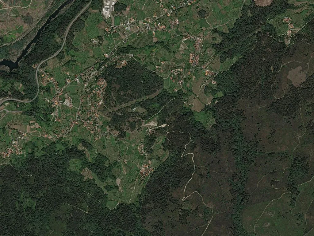
The Mouro Runs First
The river Mouro is heard before it is seen. It slips between graphite-grey boulders, keeps three water-wheels turning, and splits the vines from the chest-high scrub. Penso terraces up from its bank at 231 m, every dry-stone wall the labour of two generations and every row of Alvarinho angled to catch the morning sun and the mountain breeze that sharpens the grape to razor acidity.
Stones, Names, Numbers
A charter dated 1118 already lists the parish church of São Tiago, yet the toponyms ending in ‑oso hint at settlement long before Rome. What remains are slab bridges, unpainted maize-lofts on stilts, and granite crossroads shrines passed without ceremony. The resident roll today is 445, of whom 195 are over 65. Households cluster in threes; the parish council meets in the primary school that closed its doors in 2009.
Smoke & Scent from the Larder
Inside low-ceilinged kitchens, IGP-cured hams swing for twelve months above the stove. They are served in translucent sheets with rye bread and 200 ml glasses of spritzy local Loureiro. Sarrabulho rice—pig’s blood, cumin and pepper, simmered three hours—appears only at festivals, never at Sunday lunch. The biggest date is 13 August, São Bento, when emigrants drive back from France or Switzerland, settle debts with the saints and roast kid goats on the church forecourt.
Bootprints to Santiago
The Portuguese inland Camino enters from Castro Laboreiro and leaves for Melgaço along 12 km of compressed earth. Expect two yellow arrows per kilometre, one potable spring at 42.118, ‑8.218, and a bar that unlocks only on Saturday and Sunday. Pack calories: the climb from Penso to the next coffee is 14 km uphill.
How to Arrive
Stay on the EN202 until Gaveia, then fork onto the narrow M537 signed for the Peneda-Gerês National Park. August cows of the long-horned cachena breed wander the tarmac. Park beside the football pitch—level, shadeless, no services. The river is public land; its granite pools stay at 18 °C even in July.