Full article about Romarigães: where the bell forgets the hour
Granite cottages flake into the Coura while 224 villagers keep time by church lamp and bar light
Hide article Read full article
The bronze bell in the tower is losing its memory: at noon it may strike once, or twice in quick succession when Manel’s mind drifts from the rope. Below, the granite cottages—whitewashed in the Salazar years—shed their skin in flakes that the Coura river carries west toward the Lima. Romarigães, population 224, clings to a shelf of schist at 197 m above sea level, its narrow fields stitched together with old vine posts and rusting wire.
What still stands
The 13th-century Igreja Matriz and the even smaller Capela de Santo António are listed monuments, which in Portugal means only that the bulldozers must keep away; it does not mean anyone will replace a missing slate. When an oak root heaves a cobble, the parish council simply pours a collar of cement, the stone pattern forgotten. After 22:00 the village dims to two lights: the sanctuary lamp in the church and the fluorescent tube above Bar do António—provided António himself hasn’t dozed off on the vinyl sofa.
On the Sunday nearest 8 September the Festa de Nossa Senhora do Livramento hauls the place back to life. Citroëns and Renaults with French and Swiss plates nose onto pavements on Friday night. Sunday morning’s procession is led by Dona Rosa’s daughter, balancing a 30-year-old crown of artificial chrysanthemums, while the village band sweats inside hand-me-down wool uniforms. The priest, drafted in from Vila Verde, preaches in the singsong Minho accent that still rounds every final vowel.
What is eaten
Barrosã beef appears only on Christmas Eve; the rest of the year the table is ruled by home-cured bacon, peppered in October and hung above the hearth, and yard chickens dispatched when guests arrive. Wine is drawn from a five-litre jug that Sequeira brings down the valley, trading it litre-for-litre for his daughter’s olive oil. In granite cellars once stacked with potato sacks, visiting photographers now frame shots of empty barrels—my cousins have scattered a few 1950s bottles for “atmosphere”.
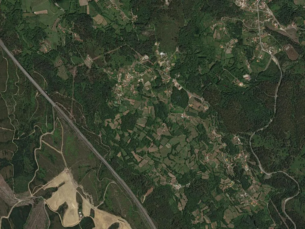
What is seen
Of the parish’s 713 hectares, most have reverted to gorse and eucalyptus. The vines my grandfather planted were grubbed up in 2003 with EU cheques meant to curb “over-production”; he died two seasons later. On the slopes that haven’t yet been sold to Hamburg retirees, young terraces of Loureiro and Vinhão now line up like ruler marks. Six village houses have been quietly converted—my Aunt Olga’s childhood bedroom is listed on Airbnb as a “biological farming experience”; she still wakes at seven to water her cabbages, only now she smiles for someone’s iPhone.
Dusk tilts behind the hilltop shrine of Nossa Senhora da Assunção, and the kitchen window fills with the same light my mother bakes under every Friday. Flour from the watermill at Vila Verde, baker’s yeast from the valley, and the same wool shawl draped over the chair, inhaling smoke from the wood stove.