Full article about Vilar das Almas
Merged medieval parishes sleep among slate roofs, Roman lanes and moss-soft threshing barns
Hide article Read full article
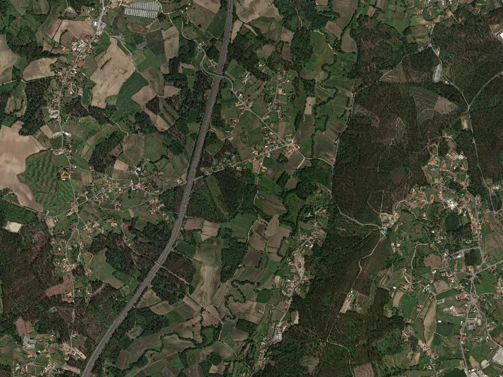
Where the Neiva keeps time
The river speaks first. At first light the Neiva slides over slate-grey boulders, its voice a low, constant hush that drowns the grind of the six watermills still standing in Santo António. Mist lifts off the water and climbs the 142-metre contour, illuminating maize leaves like strips of green glass and turning the granite outcrops the colour of old pewter. By the time the sun clears the ridge, the scent of damp topsoil and smouldering oak drifts through the lanes, and moss on the threshing-barn walls glows the exact shade of oxidised copper.
Three parishes folded into one
Vilar das Almas is an administrative afterthought: in 2013 the civil parish councils of S. Salvador de Lamas, Santo Estêvão de Riba de Neiva and Santo André de Vilar were merged, ending separate existences that pre-dated the founding of Portugal in 1143. The name “Vilar” betrays earlier occupiers—Iron-Age hill folk and, later, Roman surveyors who traced the road that still cuts east–west above the valley. “Das Almas” arrived later, first logged in 1758 when Bishop D. Miguel de Távora noted the Irmandade das Almas (Brotherhood of Souls) and the small chapel they had raised on the Outeiro ridge. Boundary reforms in 1855 nudged the enlarged parish into the far south-eastern corner of Ponte de Lima’s enormous municipality, where it remains the council’s most secluded extremity.
Stone, water and no hurry
The parish church of Santo Estêvão, rebuilt in 1726 on medieval footings, anchors the crossroads with a carved pediment and an 18th-century stone cross. Yet the secular architecture is equally articulate: Quinta do Pereiro and Quinta de Proence keep their manor-house proportions—granite portals, weather-worn coats of arms, chapel annexes—while along the river at Salgueiral and Manga the houses sit gable-end to the water, their slate roofs almost low enough to trail in the current. The 1920 census listed six working mills; four still carry paddles, though only one grinds sporadically for demonstration days. Their silence is recent: local octogenarians remember wagons queuing for corn well into the 1970s.
Between vines and lagoons
Eastwards, the wetland reserve of Bertiandos e São Pedro de Arcos spreads out like a forgotten Camargue—reed beds, alder carrs and mirror-bright lagoons where otters leave chevron prints in the mud. Within the parish boundary the Neiva is still a young river, narrow enough to leap in places, and the footpaths follow its bends through tunnels of grey willow. Vilar das Almas sits inside the Vinho Verde demarcation; here the vines are trained high on wooden pergolas (“canes”) so tractors can pass underneath. Loureiro and Trajadura grapes, picked in mid-September, yield a citrus-scented white that appears on local tables in magnum bottles cooled by the same water that once drove the mills.
Processions that measure the year
Time is kept by two public rituals. On the first Sunday of August the Brotherhood of Santo Cristo hauls a 17th-century polychrome image three kilometres from the mother church to the hilltop chapel, stopping for prayers at Quinta de Proence where the statue normally resides. The pace is deliberate: a brass band plays march-like versions of folk tunes, and bystanders fall in behind, forming a serpent of white linen and sunhats that can take two hours to reach the crest. Six months later, at nine o’clock Mass on Christmas Day, the men of Além-do-Rio shoulder a gilded Infant Jesus and parade through the lanes, singing loas—short, improvised couplets—before returning to the church for bolo-rei and espresso strong enough to float the spoon. Both ceremonies survived the 1960s exodus when a third of the population left for the Renault plants outside Paris.
Way-markers to Santiago
Vilar das Almas straddles two Santiago routes: the Central Portuguès and the newer Caminho Nascente. Together they bring roughly 15,000 walkers through the parish each year, according to the Minho inter-council association. Pilgrims descend from the pine ridge at dawn, boots powdered with red dust, and follow the yellow arrows between dry-stone walls where fennel grows taller than the way-markers. The path passes directly in front of Café O Neiva, a one-room establishment where the coffee is ground in a 1952 Brugnetto mill and served in glasses thick as a finger. Most linger only long enough to scald away the night’s chill, then cross the medieval slab bridge and turn north towards Ponte de Lima, the river murmuring its low accompaniment until the next village breaks the spell.