Full article about Ervededo’s Charcoal Hills & Chouriço Smoke
Walk scorched chestnut lanes above the Tâmega where three hamlets share one fierce heart.
Hide article Read full article
The scent of scorched earth
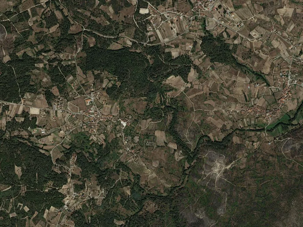
The cobbled lane that climbs to Agrela still smells of scorched soil. Last September’s wildfire tattooed the hillside: chestnut trunks reduced to graphite pillars, granite walls suddenly visible through the charcoal undergrowth, a hush that feels less like peace than bewilderment. Ervededo sits twelve kilometres northeast of Chaves, a left turn your sat-nav only offers if you banish motorways. The parish roll claims 595 inhabitants; in February you’ll count fewer, in August far more.
Three hamlets, one name
Ervededo—probably from the Latin herbētum, a place rank with grasses—folds together three hamlets: Agrela, Torre and Couto. Dogs recognise every passing pick-up; number plates are superfluous. Emigrants fly back from Paris and Neuchâtel for the school holidays, doubling the population overnight. When the fire leapt the Tâmega that afternoon, it was these returnees—garden hose in one hand, domestic brush-cutter in the other—who held the line until the S-64 helicopters arrived from Macedo. Wet shirts clung to them like improvised armour.
What the day labourer eats
Food here is calibrated to sunrise-to-sunset work. Smoky pumpkin chouriço hangs in kitchens where no one forgives garlic in an alheira. Deep-crimson blood sausage arrives with the first press of autumn grapes. The region’s caramel-coloured Maronesa cattle graze the water-meadows the flames spared—Queens of the herd, perpetually distracted by some private bovine thought. Sunday means kid roasted with bay, but children bargain for warm Pastéis de Chaves. Connoisseurs nominate Padaria Vidal on Rua de Santo António, fifteen minutes away at legal speed, ten if you know the tractor shortcuts. Eat them sugared and scalding; counting the pastry layers is proof you’re not truly hungry.
Footpaths that forget the border
Two lesser Caminhos de Santiago cross these ridges, though pilgrims are scarce. When they do appear, the question is always the same: “Still far to go?” Yellow scallop tiles on gateposts serve as arithmetic for schoolchildren calculating snack-time distance. Chestnut and pre-phylloxera vine frame Larouco mountain, whose 1,535-metre summit doubles as the Spanish frontier. Below, the Tâmega Ecotrail unrolls a flat 37-kilometre cycling ribbon from Chaves to the customs house at Vila Verde da Raia—one of the few stretches in northern Portugal where you can coast without climbing. Blackbirds have returned to the riverside meadows; locals take it as a quiet omen.
A landscape learning to heal
There are no monuments, only continuance. José Manel still cures hams in a schist smokehouse built by his grandfather. Knock and he’ll lift the latch, warning: “Mind the devil’s own perfume.” Trails are worn smooth by hooves and tractor tyres, not way-markers. In late afternoon, when the sun reheats the granite, Ervededo stops apologising for its scars. The grasses have grown back; wood-smoke drifts from kitchen chimneys; cows call across the valley. The place simply gets on with being itself—slow, stubborn, and quietly alive.