Full article about Monforte Plateau: Wind-Carved Villages of Chaves
Planalto de Monforte: stone menhirs, chestnut woods, Barroso smokehouses—explore Chaves’ wildest twin villages at 808 m.
Hide article Read full article
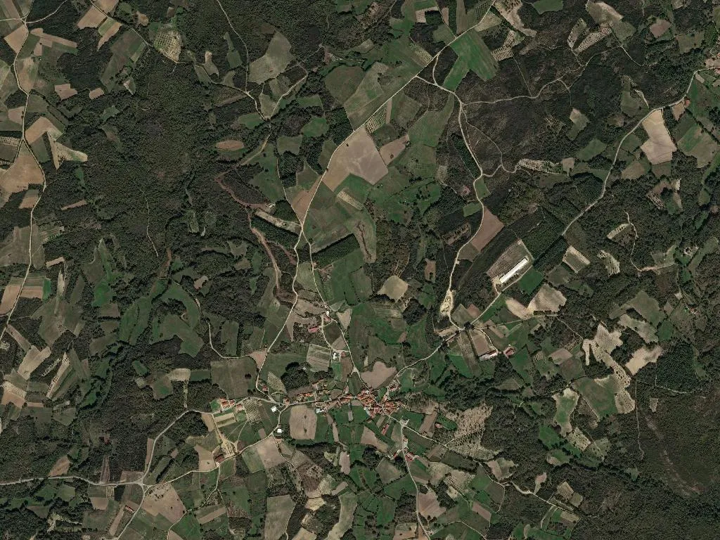
At 808 metres the wind arrives straight off the Tâmega valley, sharp enough to make your eyes water. The plateau rolls in slow swells of gorse, knee-high heather and chestnut coppice where Maronesa cattle — the russet, long-horned breed that looks Bronze-Aegean — graze without haste. Two villages, Oucidres and Bobadela, were stitched into a single civil parish in 2013, but the landscape had already done the job: identical altitude, identical winter bite, identical winter light that turns moss on dry-stone walls to wet emerald.
Where schist keeps the memory
Bobadela’s menhir rises like a compass needle from the moor. No ticket desk, no audio guide, just the granite blade and the Atlantic wind. The stone is stamped on the parish coat of arms, a reminder that “Monforte” — from the Latin mons fortis — is a medieval afterthought; the real story is older. Scattered burial mounds, transhumance trails and the ghost of a tungsten mine (abandoned 1962) map out earlier economies.
Oucidres tightens itself into a lattice of schist lanes, warped wooden granaries and the 18th-century Igreja de São Pedro whose unadorned façade and two-eyed belfry cut a clean profile against the sky. The Oucidres river begins here as a cold fingerling, dropping to the Tâmega through stone irrigation tanks that still feed pocket-sized vegetable plots. Two hundred and sixty people are on the parish roll; 143 of them are over sixty-five. Logs are split, smoke-cured sausages dangle, potatoes go into the high-altitude allotments.
Smoke, chestnuts and hot bread
This is Barroso country, Portugal’s north-eastern pantry. Protected sausages — alheira, chouriça de carne, chouriço de abóbora, salpicão, morcela — cure above hearths in every other house. Barrosã-PDO kid is grilled over embers; milk-fed lamb arrives pale pink beside IGP potatoes and turnip greens. In October the DOP chestnuts of Padrela thud into woven sacks, and locals still drive to Chaves for a warm Pastel de Chaves — puff-pastry cylinder of vanilla custard — before the bakery tray empties.
Trails between stone walls
The inland route of the Camino de Santiago crosses the plateau, keeping to paths flanked by schist walls and meadows so quiet you hear the red-winged blackbird before you see it. Walking here means adjusting to altitude: thinner air, harder light, the Larouco and Leiranco ranges scratched on the horizon. Beside the boarded-up primary school a rough lookout gives a cinematographic view west over the Tâmega; at sunset granite outcrops and slate roofs ignite the same copper tone as the cattle. High-moor flora feeds the bees that make DOP Barroso honey; in the chestnut canopy citril finches nest.
The iron hoe on the parish crest is not heraldic decoration. It is the tool that built every wall, every terrace, every parcel of usable ground. When night pulls the temperature to zero, smoke rises straight from schist chimneys, white strokes on a dark canvas, and the smell of burning chestnut drifts across the plateau — an olfactory signature of a place where human effort is still written, line by line, on the land.