Full article about Santo António de Monforte
Roman altars, Santiago trails and alheira crackle over a 650 m Alto Tâmega scatter-hamlet
Hide article Read full article
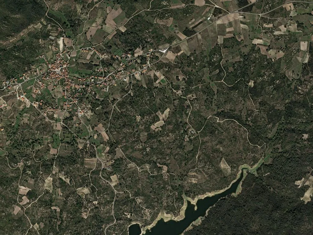
At 650 m the wind scythes across the wet meadows, carrying the scent of gorse and woodsmoke. Santo António de Monforte uncoils over 1,200 hectares of northern Portugal’s Alto Tâmega plateau, its 397 souls scattered among stone granaries, chestnut orchards and the sudden white flare of a wayside chapel.
Beneath your boots
A Roman altar stone, later pressed into service in schist walls, lies somewhere under the turf. Sunday mass is sung at 11 a.m. in the parish church; the hilltop Calvário chapel, five minutes from the stone cross, opens only when someone fetches the key from Dona Albertina’s kitchen.
Passage & pilgrimage
Two Santiago routes slice through the parish: the inland Via Lusitana and the Nascente. Both follow medieval footpaths that once funnelled traders towards the old Monforte pass. Yellow-waymark paint and scallop-shell tiles show the way; water is available at Val de Igreja spring, 3 km east of the church.
What to eat
Casa de Pasto O Cruzeiro, on the N103, grills alheira sausage until the skin blisters, tops it with a fried egg and hands you a plate of chipped potatoes for €8 (Tue–Sun 12–3). In Monforte village, Tasco da Vila slow-roasts kid goat; book ahead (276 990 022). Next to the parish hall, the grocery sells house-cured chouriço de abóbora (€14/kg) and 12-month presunto (€18/kg).
Need to know
Nearest pharmacy: Chaves, 12 km. Fuel: Repsol garage in Vidago, 9 km. Cash: the bakery beside O Cruzeiro takes MB contactless. Medical centre: USF Chaves, 276 340 220. Emergencies: 112.
Stay or move on
Most walkers press on, but if dusk catches you, Casa da Eira has a double room for €35 including breakfast – call 969 843 117 a day ahead.