Full article about Cabril: Dawn Smoke over Portugal’s Highest Schist Roofs
Cabril, Montalegre: walk among 100 working oak granaries, 18th-century granite calvaries and August barefoot pilgrimages on Portugal’s roof
Hide article Read full article
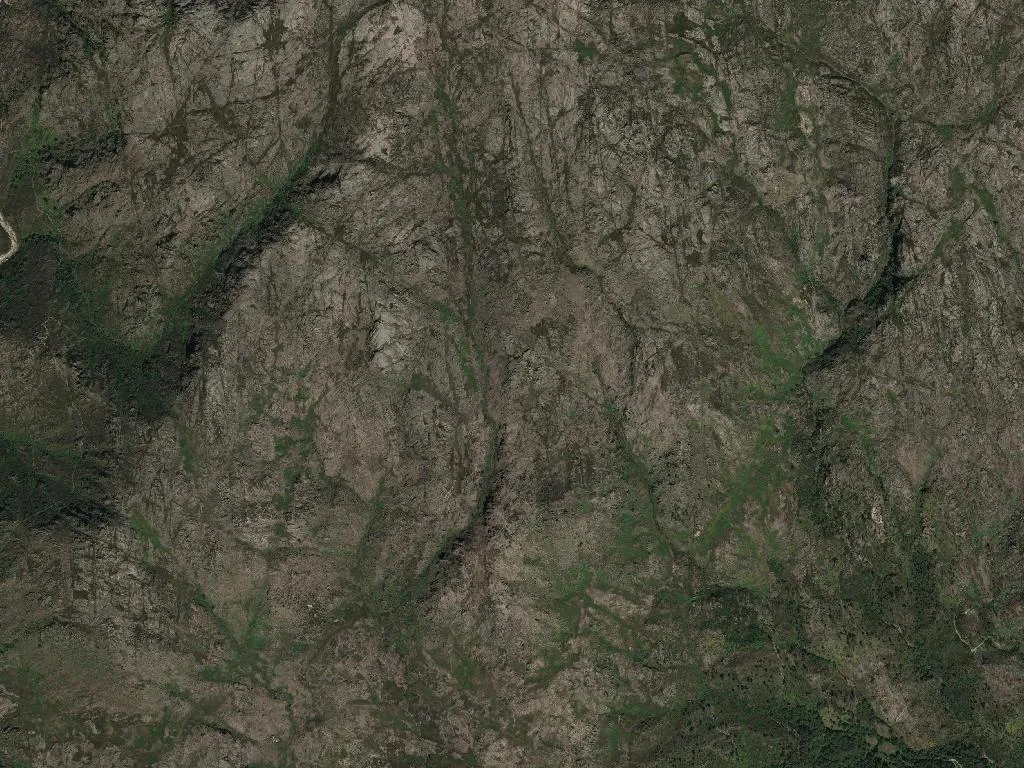
Dawn at 958 metres
Smoke rises pencil-straight from schist roofs at first light. At this altitude the air has a different weight: it rasps the throat on January mornings when frost turns the bogs into sheets of glass, and in August it carries the scent of chestnuts roasting on the Magusto bonfires. Between granite houses, oak-wood granaries stand in formation like watchmen from another century, still storing the tiny maize that is threshed from terraces too steep for machinery. More than a hundred are in active use—the largest working cluster in northern Portugal—proof that the mountain has never stopped underwriting the local ledger.
Why the village is called ‘Little Goat’
The name descends from Latin cabrillus, a nod to the herds that once scrambled up the crags when medieval settlement reached these heights. Transhumance set the calendar: routes linking the high plain to summer pastures threaded straight through Cabril, bringing shepherds and sheep in seasonal tides that still echo at Montalegre’s monthly livestock fairs. The parish church, an 18th-century single-nave building, preserves a polychrome wooden altarpiece whose gilt is holding its own against the damp breath of two-metre-thick walls. Beside it, granite calvary stones mark crossroads and old paths; one by the bridge over the Cabril stream is dated 1782.
On a knoll north of the village sits the chapel of Nossa Senhora do Pranto, raised in 1855 after a cholera outbreak decimated whole households. Every 15 August a barefoot procession climbs the cobbled slope in a hush broken only by the scuff of slippers. From the Picoto lookout above the chapel the view opens into an amphitheatre of valleys: Alto Tâmega and the Larouco ridge, where Pyrenean oaks show as dark bruises against the ochre of cured upland pastures.
Lunch, Barroso style
In the tavern on the square, lunch arrives in a steaming clay bowl: farinheira sausage, Barroso IGP pumpkin chouriço, kale and Trás-os-Montes IGP potatoes that collapse at the touch of the spoon. Barroso IGP milk-fed lamb roasts in a wood oven with rice that drinks the golden fat, while a crackling alheira sausage—also protected-origin—hits the iron pan. Along the ceiling, Vinhais IGP ham legs and blood sausages cure in the smoke-blackened rafters. Dessert is a dense chestnut cake, offset by a glass of high-altitude vinho verde whose mineral acidity slices through the sweetness, then a wedge of smoked sheep’s cheese slicked with Barroso DOP heather honey the colour of burnt amber.
Into Peneda-Gerês on foot
Cabril sits inside the National Park; the Caminho Nascente of the Portuguese Way of St James crosses the parish on a way-marked descent to Paradela. The eight-kilometre Bestança trail threads past abandoned watermills and granite plunge-pools where the river slides in glassy sheets, then enters Pyrenean-oak forest scored by wild-boar rootlings. When snow blankets the plateau—an increasingly rare event this far south in Vila Real district—silence becomes absolute: no birds, no wind, only the white-weight creak of branches.
On August nights the Senhora do Pranto Moonlight Walk draws hikers to the ridge. Far from any light pollution, the Milky Way rips the sky from horizon to horizon—the “souls’ road” that villagers still name in Mirandese. Somewhere beneath it, the missionary Joaquim Pinto de Azevedo, born here in 1850, once took his last look before sailing to Angola, never to return.
The 41° 40′ N parallel slices straight through the village, an invisible line that places Cabril equidistant between Atlantic swell and interior sierras. When the church bell tolls the Angelus at dusk, the sound rolls down the valleys until distance swallows it—loneliness measured in kilometres of granite and gorse.