Full article about Ferral: smoke, silence & schist gold in Barroso
700 m above the Cávado, communal-oven smoke drifts over wolf-printed oak woods and UNESCO baldios
Hide article Read full article
Smoke from the communal oven
Smoke rises ruler-straight from the communal oven chimney, a charcoal line scored across the oak canopy. It is Saturday morning and the same three-step ritual is being re-enacted: dried gorse twigs, chestnut logs, a draught of cold air slipping through the low doorway to make the flame jitter. Outside, Ferral wakes slowly. The village has never learned to hurry. At 700 m above sea level, pressed between the Barroso plateau and the granite ramparts of Peneda-Gerês, time is still apportioned by grazing cycles and the first snowfall.
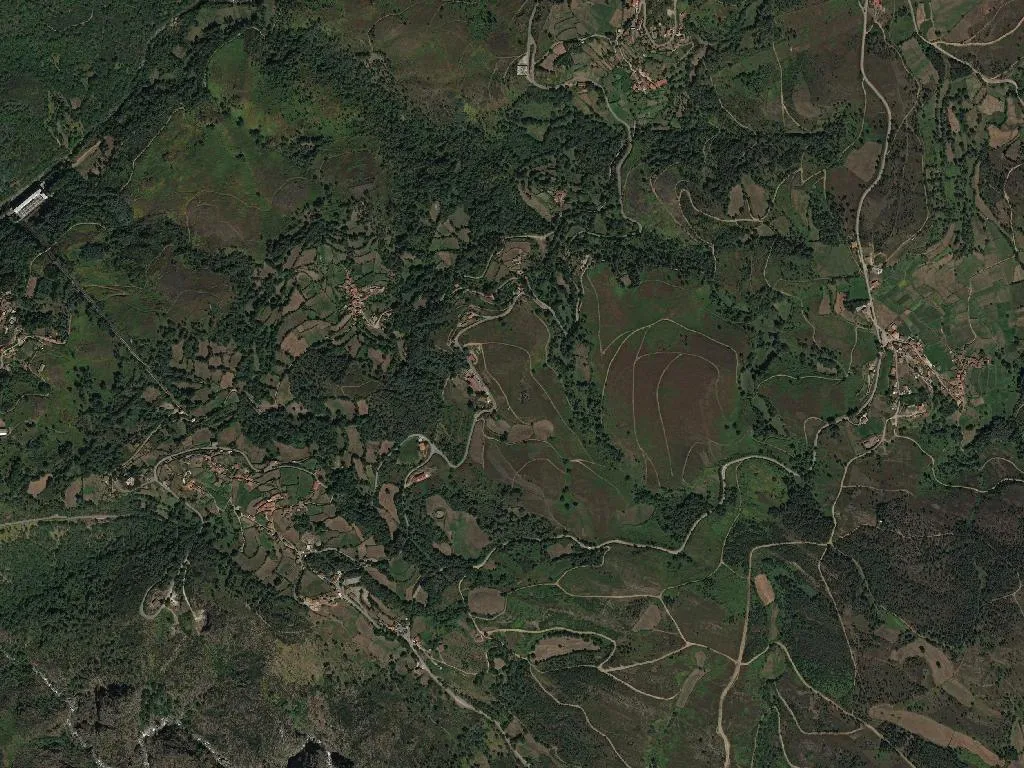
Two souls per square kilometre
Statistics reduce the place to a whisper: 293 people across 1,500 ha, a density of 19 per km²—one of the lowest in Portugal. What the spreadsheets omit is the boot-echo on granite flagstones, the way December light skims schist walls turning them into slatted gold, or the hush that settles when the valley fills with cloud. Ferral lies inside the 140,000 ha Barroso Biosphere Reserve, UNESCO-stamped in 2019, where communally owned “baldios” have been managed by village councils since the Middle Ages. The name itself comes from the Latin ferreus—iron—referring either to long-forgotten smithies or simply to the unyielding ground underfoot.
Walking to Penedo do Abutre
The Caminho Nascente of the Portuguese Santiago route cuts across the parish, funnelling walkers up to the Penedo do Abutre lookout. From the lip of the crag the Cávado valley unscrolls northward, framed by the Larouco and Bornes ridges and the glacial lagoons that freckle the plateau. Late afternoon brings an invisible choir to the chestnut groves: red-legged partridge, pine marten, southern water vole. Locals insist Iberian wolves still ghost through the oaks at dusk; their paw-prints appear more often than they do.
The Barroso table
Inside Taberna da Misarela (Largo do Cruzeiro 61) the alheira arrives blistered and smoking, paired with potatoes that have known only mountain spring water. Wood-oven kid follows, then hand-cut salpicão, beef chouriça and Montalegre’s pumpkin-smoked chouriço—each stamped with the Barroso IGP. Blood sausage darkens the plate; migas mop up the juices. Dessert is bolinhos de amor soaked in Barroso DOP honey, thick as Baltic amber. The local vinho verde—white or red—keeps the altitude-fresh acidity of the vineyards that step up the valley towards the Spanish border.
Processions and January carols
September brings two pilgrimages that pull the faithful from across the district: the Feast of the Lord of Mercy and the procession of Our Lady of Lament. At Christmas, concertinas and tambourines accompany door-to-door Janeiras carols. The older generation still recall “Chorar o Entrudo”, a Shrovetide satire in which villagers publicly lampooned parish scandals—now a memory cooling on the threshing floor like yesterday’s bread.
When snow finally caps the shale roofs, Ferral contracts to its essentials: wood-smoke, creaking beams, a white hush that erases horizons. Yet the communal oven is lit again before every feast, and the loaves proof slowly—just like everything else that refuses to leave these hills.