Full article about Montalegre’s granite sky-castle and smoky sausage hamlets
Barroso stronghold at 1,194 m: wolves, oak-smoked alheira, Roman coins in rye fields
Hide article Read full article
The granite fortress at 1,194 m
At 1,194 m the wind slices sideways even in high summer, carrying resin from Cabreira and heather from Larouco. The keep, built by an Italian engineer nicknamed “the Bolognese” in 1273, once surveyed 20 km² of new medieval farmland; today it surveys 1,772 souls scattered across 32 km² of boulder-strewn commons. Winter snow can lie for weeks, summer nights rarely rise above 14 °C, and every horizon is a saw-edge of granite.
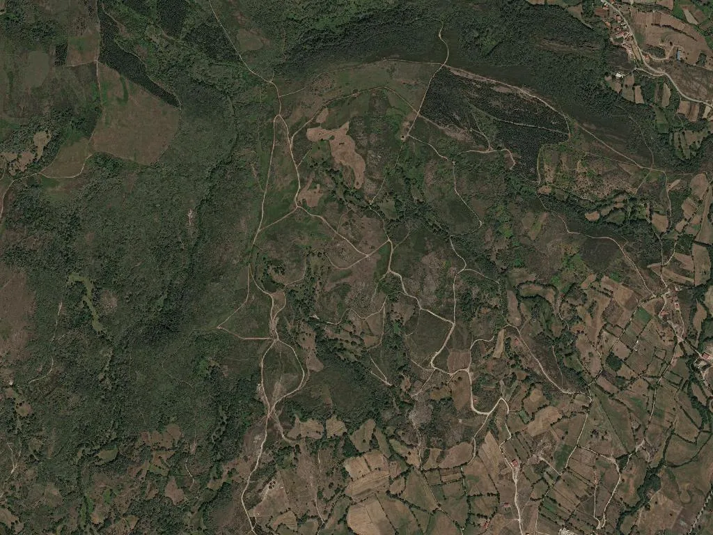
Vertical geography
Montalegre is more than a town – it is a landform. The unified parish stitches together slate-roofed hamlets where the rare Maronesa cow grazes slowly, bells echoing like slow metronomes. Over 900 Roman bronze coins were turned up by a plough in 1982; Padroso, on the dry-line with Spain, later survived Castilian raids and became a nocturnal motorway for smuggled coffee and cod. Local priest Domingos de Donões was laicised in 1759 for giving parish silver to famine families.
What to see
Inside the curtain wall, the Igreja do Castelo is barely wider than a nave yet carries a Manueline font carved with mermaids. Casa do Cerrado is a textbook Barroso manor: espigueiro maize store on stilts, gargoyle gutters, rye-thatched balcony. In Santo Adrião, Iron-age graves are sockets carved into bedrock. The Carvalho da Forca – the gallows oak – still leans over the cross-roads where the 1820 Liberal tribunals sat. Below, the rewilding pine of Mata do Avelar hums with Iberian wolves and short-toed eagles.
What to eat
Oak-smoked alheira de Barroso-Montalegre IGP coils like a fat breadstick; slice it and the crumb steams. Salpicão, morcela and chouriça de carne share the same smokehouse, perfumed for weeks. Cabrito de Barroso IGP is roasted four hours in a stone oven until the skin lacquers. Plate it with waxy Trás-os-Montes IGP potatoes and honey from heather and rosemary that sets to toffee hardness in the jar.
Paths and calendars
The parish sits inside Peneda-Gerês National Park; waymarked trails drop to the Cávado and Rabagão reservoirs where otter prints braid the mud. The Caminho Nascente of the Santiago pilgrimage crosses the plateau en route to Braga. July brings the romaria of Senhor da Piedate, October the Feira do Fumeiro – streets thick with smoke and gossip, knives tasting sausage before purchase. When the low sun ignites the granite and the bell tolls the angelus, wood-smoke drifts upwards until it vanishes into the thin mountain air.