Full article about Outeiro: Barroso’s sky-island above Cávado
June frost drifts over granite ridges while Maronesa cattle graze rye terraces in Outeiro.
Hide article Read full article
Stone draughts at midsummer
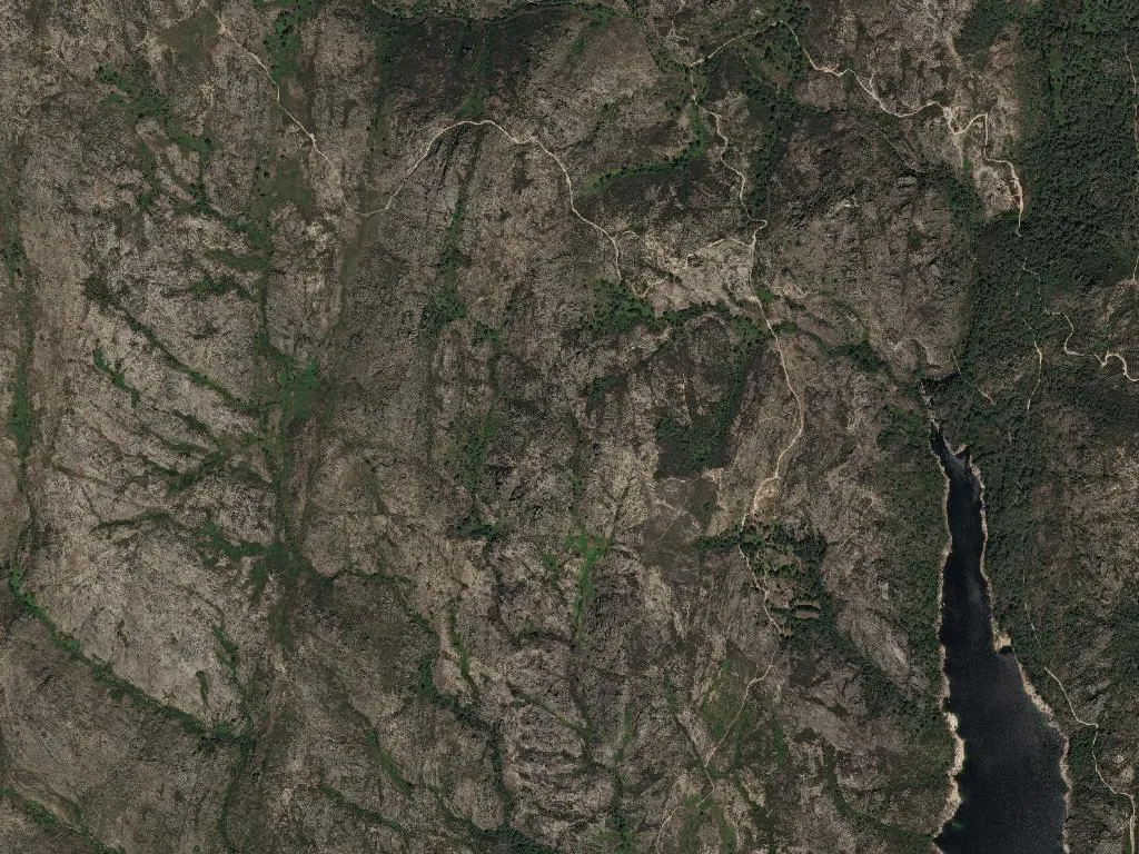
Even in June, cold slips through the granite gateways of Outeiro. At 977 m the air is thinned to a whisper; the only sounds are sheep bells somewhere below and the wind scything across the bog-cotton meadows. The parish – the northernmost wedge of Montalegre – numbers 143 souls scattered across 52 km² of sheer granite and rye terraces stitched together with schist walls.
The village caps a ridge the Romans called outum, “high knoll”, and the name still fits. From the small square you look south down the Cávado valley straight into Peneda-Gerês National Park, whose boundary coils protectively around the whole parish. Charters mention Outeiro in the thirteenth century, but transhumance paths pre-date the paperwork: drove-ways that once channelled cattle to summer pastures now form part of the Caminho Nascente to Santiago. Pilgrims in scallop-shell patches climb the same gradient, lungs burning.
Meat, honey, altitude
Barroso is cattle country. Maronesa cows – the auburn, long-horned breed pictured on every pack of Carne Maronesa DOP – graze the wetlands freely, ending up as slow-roast ribs or the local goat-and-red-wine stew. Milk-fed Barroso lamb owes its concentrated flavour to high-slope pastures where cold retards the grass and intensifies sugars. In kitchen smokehouses, oak and chestnut logs cure IGP-certified chouriço and horseshoe-shaped alheira sausages; the smoke drifts out through roof tiles like incense.
Beehives tucked among heather and gorse produce dark-amber Barroso honey, bitter and resinous, a world away from the delicate citrus honeys of the coast. Above 900 m, Outeiro sits improbably inside the Vinho Verde demarcation; late-ripening vines give whites of razor-sharp acidity and a flinty snap that pairs with mountain trout. Terraced plots also yield the waxy, midnight-chilled potatoes that earned Trás-os-Montes its own IGP – firm enough to survive a clay-pot stew without collapsing.
The silence that weighs
Population density: 2.7 per km². Thirteen children, fifty pensioners. The numbers spell rural exodus more bluntly than any policy paper. Yet on the feasts of Senhor da Piedade and Nossa Senhora do Pranto the place refills: emigrants fly in from Paris and Newark, church bells clang into the night, processions hoist embroidered banners up cobbled lanes while granite doorways echo with canticles older than the organ.
Walk the loop east past abandoned hay-lofts and granite calvaries and you enter the national park: no hedgerows, just stone walls and the smell of damp moss. Dawn is gun-metal, noon is gold, dusk is bruise-violet. When darkness finally drops, the temperature dives and the sky unpicks itself into a salt-shake of stars. Wood-smoke settles in the lanes, blending with peat and wet slate, a perfume that lingers like the last chord of a hymn.