Full article about Santo André: granite hush above the cloud-sea
At 839 m, a slate-roofed hamlet rings its 1834 chapel bell while goat drips over kermes oak.
Hide article Read full article
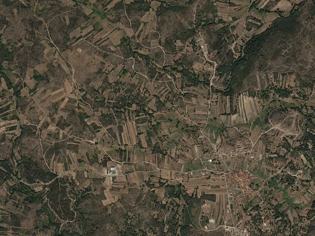
The slate roofs of Santo André are still midnight-blue when the thermometer slips below 5 °C. At 839 m the village sits just beneath the cloud line; mist pools like milk in the troughs of the narrow lanes until the first sun-ray strikes the granite and everything evaporates into silence. Then the bell in the chapel tower tolls half-past seven, a sound unchanged since the Liberal Wars.
149 inhabitants are on the roll: four primary-school children, 72 pensioners, and a returning cohort of thirty-somethings who traded Porto call-centres for elder care and remote code. Net curtains twitch; wood smoke rises vertically. Nothing opens before ten.
Stone & Faith
The chapel of Santo André is a single-volume rectangle, its door hacked from oak and iron in 1834. Inside, whitewash flakes over a gilded rocaille altar; outside, rye fields push against the churchyard wall. The building only reaches capacity twice a year: 14 May for the Lord of Mercy procession, when women in black lambs-wool shawls walk the boundaries reciting the seven penitential psalms; and 15 August for Our Lady of Tears, when emigrants drive overnight from Paris to drink red clay-stained wine from plastic cups.
The real architecture is anthropogenic. Pyramidal corn-stores on mushroom feet—espigueiros—stand every few hundred metres along the lanes, their granite slabs slotted without mortar. Some tilt like drunk sentries; others still carry last year’s cobs, drying into December. The same family names carved on the lintels appear on the adjacent dry-stone walls, repaired each spring with exactly the same puzzle of schist.
What you’ll eat
O Abocanhado occupies a 1930s primary school at kilometre 12 of the EN 308. The menu is a laminated A4 sheet that never changes: kid goat, salt-crusted and slow-grilled over kermes oak for three hours, served with potatoes boiled in their skins and a wedge of lemon. No denominations are listed, but ask proprietor António Pereira where the chouriço comes from and he nods towards the cemetery: “Zé’s factory, behind the cypresses.” The honey is from Seixo, 15 km south, where heather gives it a burnt-toffee bitterness; the cheese is made by Dona Fernanda in Bica, thirty wheels a week pressed in hand-loomed cloth.
How to arrive & what to do
Leave Montalegre on the EN 308, past the wind-farm blades parked like crashed aeroplanes. A rusted signboard marks Santo André, but nobody slows. Park by the chapel, walk the 500 m spine road, then pick up the Corno do Bico trail behind the graveyard—an 8 km yellow-blazed loop across broom moorland to a 1,026 m summit. No café en route; carry water. In October the first snow can arrive unannounced; pack a windshirt.
By late afternoon the air smells of smouldering oak and pork fat. Dona Albertina’s curing shed vents a ribbon of blue smoke into the dusk, the same scent that drifted here when the village had 600 souls and no electricity.