Full article about Borbela and Lamas de Olo: granite, wind and cheese-scented heights
Above the clouds, two fused villages coax wheat from 1,100 m slopes and ivory Terrincha cheese from mountain milk.
Hide article Read full article
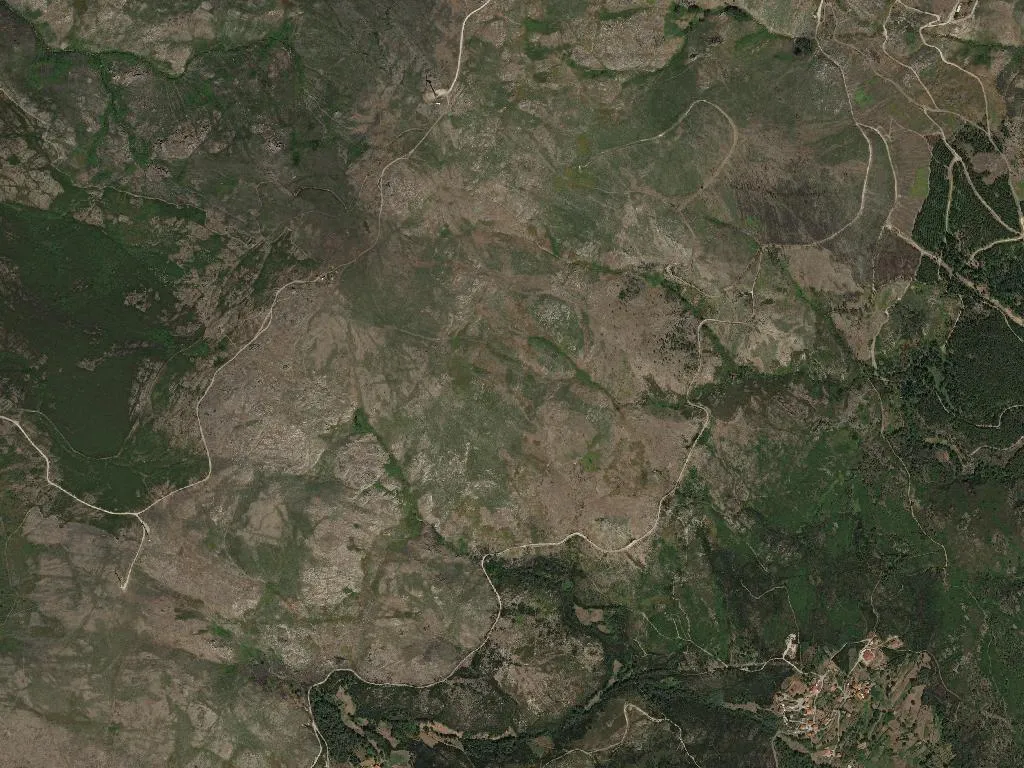
The air turns blade-sharp above 1,100 m. You feel it in tingling dawn fingers, in the granite ribs that jut through the terraces, in a daylight that seems to brush the cloud base. Between Borbela and Lamas de Olo the mountain is made of stone, wind and the bell of a chapel you hear long before its slate roof appears.
These two villages were fused into one civil parish in 1997, yet they have always shared the same stubborn contract with the ground: coax wheat, rye and maize from slopes that start at 600 m and keep climbing. Medieval foundations survive as loose-stone walls, as sun-bleached threshing floors, as schist alleys where footfalls echo exactly as they did four centuries ago.
What you’ll eat
Maronês cattle graze gradients that would daunt a goat; their DOP beef tastes of uphill heather and wild thyme. Milk from Terrincha ewes becomes a close-textured cheese the colour of old ivory, its rind imprinted with the weave of the cloth used to press it. Between 600 m and 800 m, improbable terraces of Gouveio and Viosinho ripen into a high-altitude white that concentrates rather than thins in the thinner air. On the table: steaming broa de milho, smoke-cured chouriço, conversation that stretches like warm toffee—haste has never climbed well in these parts.
Festivals
June belongs to São João, followed in quick succession by São Pedro, Santo António, Santa Maria da Feira, Santa Bárbara and São Frutuoso. Each saint gets a day, a flower-decked procession, a sung mass. Brass bands tune up in the churchyard while the neighbouring villages roll in; the head-count doubles as a quiet census of who died, who left, who has come home.
Trails
Alvão Natural Park shoulders into the parish. Paths lunge straight up between granite crags and ice-cold pools that still make you gasp in August. Oak and birch forests open into meadows where the silence feels viscous. The Interior Way of the Via Lusitana to Santiago cuts through here; pilgrims top up water at stone fonts, exchange two sentences of Portuguese-English-Spanglish, then shoulder their packs for the next 400 m of ascent. The mountain does not compromise, but it pays in muscle memory.
Wine
The UNESCO-listed Alto Douro boundary reaches this far north. Generations have built the landscape terrace by terrace, stubborn as the schist that holds it. At dusk, smoke rises vertical from chimneys; guest-house fireplaces are lit. The dry cold clamps down, and at 1,114 m night arrives fast, unpolluted, screwing silver studs of stars into a blackboard sky.