Full article about União das freguesias de Bigorne, Magueija e Pretarouca
Shoulder-width terraces, feral vines, silent Camino paths—life at 921 m in northern Portugal.
Hide article Read full article
The Road Up the Douro
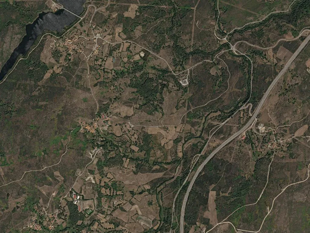
The road ascends through dark schist and stepped terraces that descend into the Douro Valley. Here, at 921 metres above sea level, the air carries a cold clarity even on the sunniest days, and the wind carries a distinct scent—not the sweet aroma of the ripening vines further down, but something sterner: pine resin, damp granite, woodsmoke curling from chimneys even in August. Bigorne, Magueija and Pretarouca form a single parish folded into the ridge where the Unesco-listed Alto Douro Vinhateiro gives way to raw mountain.
At the Douro’s Ceiling
575 inhabitants. 2,000 hectares. 177 pensioners, 39 teenagers. Four licensed holiday cottages. Do the sums.
The parish sits inside the Port wine demarcation, yet the vine is scarce here, feral. The terraces narrow to shoulder-width, the incline tilts to angles that mock the plough. Everything is done by hand, as it always was. No machine can climb this high. What grows tastes of obstinacy—grapes that make high-altitude wines, sharp and wired, uncelebrated by any export label but known locally by the name of the vineyard and the man who works it.
Footprints of Pilgrims
Two routes of the Camino de Santiago cross this territory: the Interior Way and the Torres variant. They are paths of granite and silence, climbing out of Lamego towards Galicia. To walk here is to feel the constant incline in your calves, the weight of your pack, the echo of your own footfall on packed earth. No crowds, no albergue every five kilometres. There are locked chapels, lichen-yellowed stone crosses, springs where water tumbles straight off the ridge.
The Festa and Romaria de Nossa Senhora dos Remédios—held down in Lamego but spilling uphill—bring seasonal motion. For a few days the paths fill with promises and ex-votos, coaches grinding uphill, families returning from France or Switzerland. Then silence reasserts itself like a long-term tenant.
The Mountain’s Weight
Nature here is not scenery; it is inventory. Maritime pine feeds the sawmill, oak gives shade to cattle, streams descend fast and cold. The average elevation of 921 metres dictates the thermometer—even in July the night arrives with a sudden shiver, and guests in the stone cottages wake to fog pasted against the glass, thick as wet wool.
There are no restaurants. No winery doors stand open. If you lack a cousin or a childhood friend in the village, bring provisions. Or telephone ahead—someone will lay an extra plate, but it is hospitality, not business.