Full article about Serra d'El-Rei: Where Red Earth Breathes Slowly
Serra d'El-Rei, Peniche: 9 km² of fossil-studded stone, Iberian partridges and the Coastal Way of St James.
Hide article Read full article
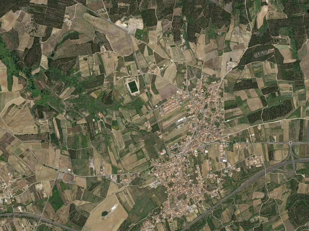
The granite underfoot warms by degrees as the sun lifts above hedgerows that run ruler-straight to the horizon. Between them, the soil is the colour of a well-seasoned terracotta, worked so long that it has begun to work the people back: imprinting itself on hands, boots, the wooden handles of hoes. At 105 m above sea level, Serra d'El-Rei keeps its own metronome—slow, agrarian, indifferent to motorways and the surf circus ten minutes away.
Nine square kilometres shelter 1,342 souls, a figure precise enough to be felt. At noon the village’s only café ejects its last customer; stone benches outside terraced houses receive the elderly in silent relays; a child kicks a deflated football across the churchyard and the sound carries further than traffic. Density is 150 inhabitants per km², low enough for red-legged partridges to step confidently onto tarmac.
Stone and belief
A single listed building—an eighteenth-century manor endorsed by the state as “public-interest property”—anchors collective memory. Its limestone blocks are the local dialect writ large: pale, fossil-studded, cut just crudely enough to show the hand that held the chisel. Around it, cottages obey an unwritten code: low walls, arched doorways, windows the width of a single storey beam, all designed to admit Atlantic light without surrendering summer cool.
The parish sits inside the Berlengas Nature Reserve’s buffer zone; on a limpid day you can sight the archipelago 15 km out like a row of broken teeth. UNESCO’s Oeste Geopark also claims the territory—marine limestone laid down 160 million years ago, then folded into gentle hills by tectonic shrugs.
Pilgrim footsteps
The Portuguese Coastal Way of St James crosses the village in a 25-km day-walk from Óbidos to Peniche. Hikers emerge from cereal fields, refill bottles at the granite fountain, and leave again carrying the smell of hot pine needles and sun-cream. Their rhythm—measured in blisters and way-markers—briefly overlays the agricultural calendar.
Seventeen licensed lodgings (a mix of cottages, self-catering apartments and one manor wing) absorb the overspill from Peniche’s surf camps and conference centre, offering silence instead of swell reports. Occupancy peaks twice: May, when orchards flower, and late September, during the Pêra Rocha harvest festival.
Taste of the West
Pêra Rocha do Oeste DOP and Alcobaça apple IGP are more than acronyms on a label. They dictate the look of the land: espaliered pear trees stitched against the sky like embroidery hoops; apple avenues pruned into cathedral aisles. Clay soil, rain-laden in winter, pumps sugar into fruit so reliably that the co-op can predict the brix count weeks ahead.
Kitchen gardens obey the same calendar. Kohlrabi swells to cricket-ball size; winter squash store under beds; green beans are picked, podded and simmered with a ham bone before the day is out. Restaurants don’t brand this as “farm-to-table”; it is simply lunch, eaten under a persimmon tree while the Atlantic wind rattles the corrugated roof.
That wind arrives softened by ten kilometres of vegetable plots and pine shelterbelts, carrying just enough salt to remind you the ocean is employment, escape and threat. Serra d'El-Rei remains poised in that interval—close enough to trade surfboards for hoes at dusk, far enough for night skies to stay ink-black and star-loud.