Full article about Santo Amaro: Dawn Bell over Alentejo’s Silent Plains
Where sheep outnumber people 750-539, vines claw schist and a 1553 church bell still rules the day.
Hide article Read full article
Before the sun is up
The bell of Igreja de Santo Amaro fractures the dark at 06:27. One metallic note rolls across 4,000 uninterrupted hectares of Alentejo, ricochets off schist banks where vines grip for dear life, and dies somewhere between the solitary holm oak and the 250-metre contour line. Five hundred and thirty-nine people share that acoustic horizon, plus 750 sheep, a handful of black pigs and one café whose door hinge squeals like a violin string. The land was parcelled out by King Afonso III in 1250; the day still begins the same way.
The church that christened the parish
White lime glows like phosphorus at noon. The church door – 1553, two centuries before the hamlet was even formalised – complains on its iron pintels, then exhales cool, stone-scented air. Inside, the only classified monument for 20 km in any direction, there is no gilded baroque excess, just a single-nave rectangle that taught the surrounding fields how to measure time. Santo Amaro has no castle, no pillory, no rococo side-chapel. Its centre of gravity is this volume of granite and whitewash, and the stork’s nest balanced on the bell-turret.
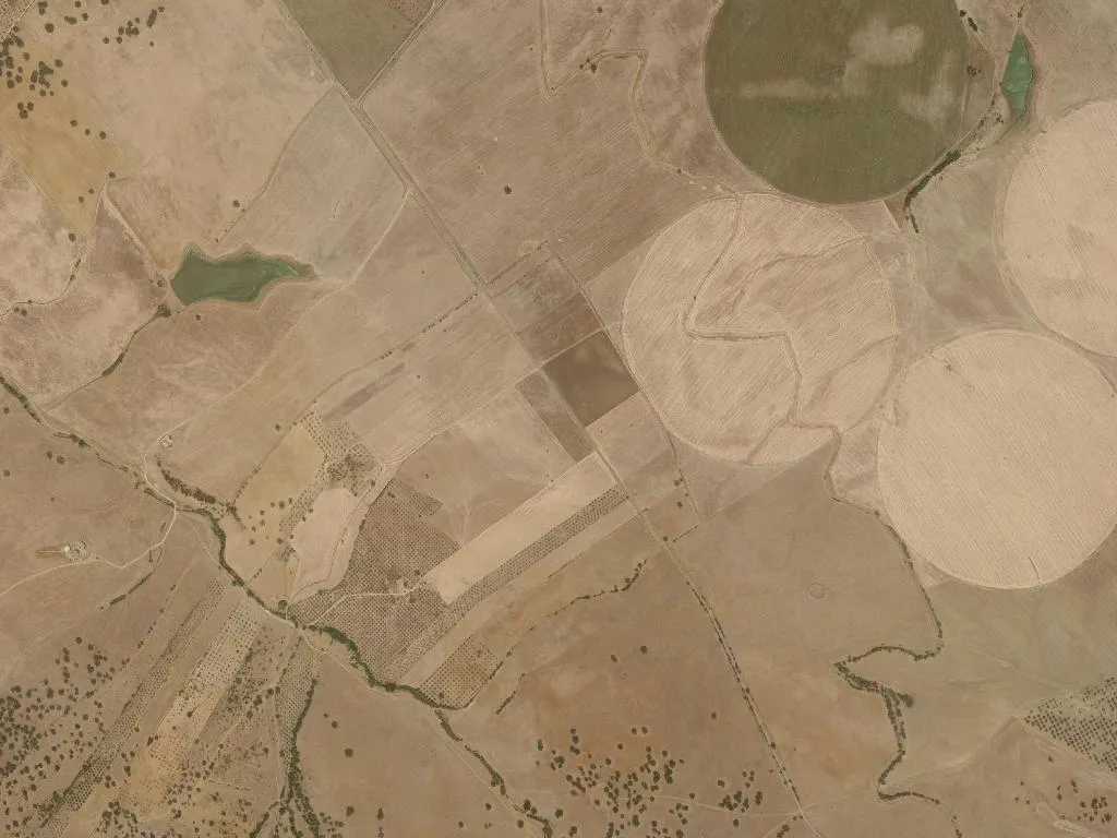
Between vine and olive
Walk the dirt corridors of Quinta do Centro and you tread the same cork-rimmed tracks that cartographers drew in the 16th century. Schist soils, rainfall under 600 mm a year and a July thermometer that licks 38 °C force the vines into bonsai contortions; their roots fracture the bedrock for moisture. Centuries-old olives interleave the parcels, their leaves silvering like fish scales when the northerly picks up. The horizon is a ruler: the only interruption is a 300-year-old holm oak on the Pinheiro estate, its canopy 24 m wide, the parish’s unofficial cathedral.
What the ground gives
Breakfast at the only long table in the village arrives without fanfare. Queijaria Vale da Barca delivers Mestiço de Tolosa (IGP) and Queijo de Évora (DOP) – both sheep-goat blends aged 40 days until they bite back. Padaria Silva in Sousel bakes the bread: tight crumb, crust that detonates, perfect vehicle for Cooperative Moura olive oil, raw garlic and coriander. Black pork from the neighbouring montado becomes presunto cured for 18 months in Cabeça de Mouro; merino lamb is simply roasted with bay and roasted peppers. A 2019 Cortes de Cima from nearby Herdade do Esporão tastes of wet slate and graphite – the vineyard’s geology in liquid form.
Silence as an amenity
There are no boardwalks, visitor centres or kayak rentals. Instead you get 18 km of sightline to the Serra de Montesinho, bustards that materialise on the cereal stubble, and a light that migrates from oatmeal at dawn to brass at last light. Birders tick off little bustards and pin-tailed sandgrouse; photographers wait for the moment the whitewash turns tangerine. The single marked footpath is a 7 km loop between stone walls – more than enough. The experience is non-event as event: the pleasure of walking until the only sound is your own tread flattening dried vetch.
A hinge that remembers
Santo Amaro holds no municipal fair, no fireworks, no procession. The calendar is written in soil colour: ochre after sowing, green after the first rain, blond by June. Check-in is Monte da Galvêz, three refurbished labourers’ cottages around a tank pool; the host leaves a bottle of her own olive oil and the Wi-Fi password, then disappears. At 19:30 the church bell repeats its matutinal call, softer now, a reminder that darkness still arrives without asking permission. You remember the hinge on Café Central’s door, the one that sings every time someone enters for a bica – a sound so small it travels, like the parish itself, for kilometres.