Vista aerea de União das freguesias de Antuzede e Vil de Matos
DGT - Direcao-Geral do Territorio · CC BY 4.0
Coimbra · CULTURA

Rice canals & heron wings over Antuzede e Vil de Matos

Trace ruler-straight ditches, sip estate espumante and watch Camino scallops fade into maize.

2,842 hab.
19.1 m alt.

What to see and do in União das freguesias de Antuzede e Vil de Matos

Protected Designation products

Protected areas

Festivals in Coimbra

May
Festa de Santa Cruz Primeira semana de maio festa religiosa
Queima das Fitas Primeira quinzena de maio festa popular
July
Festival das Artes Julho festa popular
September
Romaria da Senhora da Boa Viagem Primeiro domingo de setembro romaria
ARTICLE

Full article about Rice canals & heron wings over Antuzede e Vil de Matos

Trace ruler-straight ditches, sip estate espumante and watch Camino scallops fade into maize.

Hide article Read full article

Ditches and medieval memories

Antuzede first appears in a 1233 charter; two centuries later Vil de Matos is recorded as a satellite settlement of Coimbra’s Santa Cruz Monastery. Bureaucrats merged the pair in 2013, but locals had long since treated them as one place anyway.

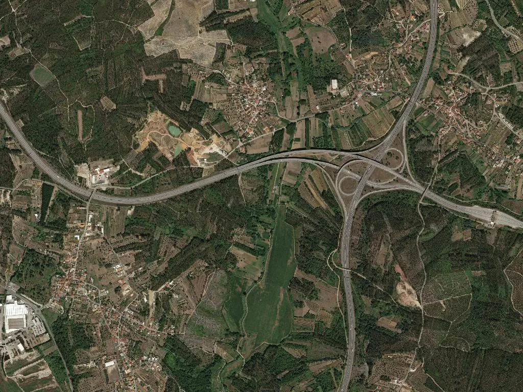
Rice arrived in the Vale Travesso during the 1800s, bringing profit, malaria and a straight-edged irrigation grid that still bisects the fields. The Vala de Ançã and Vala de Vale Travesso run ruler-flat below the maize, their water glinting like polished pewter.

The geometry of the plain

Nineteen metres above sea-level, 1 762 hectares of alluvium unfurl towards the Mondego. Three kilometres west, the Paul de Arzila reserve is close enough for evening herons to commute overhead, wings creaking like old floorboards.

The Portuguese Coastal Camino cuts through the parish, though the only evidence is a scatter of yellow scallop shells stencilled on the tarmac between tractor ruts.

Tastes of Bairrada and the Mondego

There are three cafés. São José pours its own label of espumante from just across the ridge; Celestino’s bakery dispatches someone to Tentúgal every dawn for still-warm pastéis de nata. Friday’s market in the praça is finished by ten: Cernache loaves, Oliveira do Hospital goat’s cheese and Albano’s just-cut cabbages are all gone by the time the church bell strikes the hour.

Population 2 842, median age 57. Those who leave recognise every contour from the air; those who stay can name every culvert and still recall when rice, not maize, coloured the fields gold.

Quick facts

District
Coimbra
Municipality
Coimbra
DICOFRE
060332
Archetype
CULTURA
Tier
standard

Livability & Services

Key data for living or remote work

2023
ConnectivityFiber + 5G
TransportTrain station
HealthcareHospital in municipality
EducationPrimary school
Housing~1734 €/m² buy · 7.01 €/m² rent
Climate15.7°C annual avg · 1066 mm/yr

Sources: INE, ANACOM, SNS, DGEEC, IPMA

Village DNA

40
Romance
45
Family
40
Photogenic
70
Gastronomy
50
Nature
35
History

Discover more parishes

Explore all parishes of Coimbra, in the district of Coimbra.

View Coimbra

Frequently asked questions about União das freguesias de Antuzede e Vil de Matos

Where is União das freguesias de Antuzede e Vil de Matos?

União das freguesias de Antuzede e Vil de Matos is a parish (freguesia) in the municipality of Coimbra, Coimbra district, Portugal. Coordinates: 40.2720°N, -8.4891°W.

What is the population of União das freguesias de Antuzede e Vil de Matos?

União das freguesias de Antuzede e Vil de Matos has a population of 2,842 inhabitants, according to Census data.

What is the altitude of União das freguesias de Antuzede e Vil de Matos?

União das freguesias de Antuzede e Vil de Matos sits at an average altitude of 19.1 metres above sea level, in the Coimbra district.

10 km from Coimbra

Discover more parishes near Coimbra

Weekend getaways, nature and heritage within 50 km.

See all
View municipality Read article